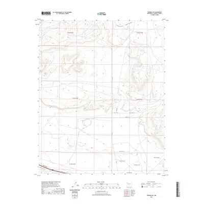
2020 Map of Thoreau NE
USGS Topo · Published 2020About this map
Casamero Draw and Mitchell Draw define the drainage patterns across this McKinley County landscape, where the high desert terrain transitions into the deep incisions of Rincon Canyon. This 2020 survey captures a specific network of rural development and local infrastructure near the Continental Divide. The road network is particularly descriptive of the area's modern land use, featuring named thoroughfares like Anasazi Rd and Red Cliff Rd that reflect both the archaeological significance and the geological character of the region. Local access is anchored by Casamero Lake Loop Rd, which winds through the northern sections, while the presence of Old Landfill Rd and the Frontage Rd near the southern boundary points to contemporary utility and transportation corridors. The map provides a precise layout of township and range lines, essential for modern property research and identifying specific parcels within the Eastern Navajo Agency.
Find a feature on this map
19 named features on this map. Tap any name to fly to it.
Don’t see what you’re looking for? This feature index may not catch every label — zoom into the map to look around manually.
Map Details
Editions of this 2020 Thoreau NE Map
This is the sole edition of this map. No revisions or reprints were ever made.
Other maps of this area

1883 · Mt. Taylor
USGS Topo · 1:250,000

1886 · Wingate
USGS Topo · 1:250,000

1886 · Mt. Taylor
USGS Topo · 1:250,000

1892 · Wingate
USGS Topo · 1:250,000

1892 · Mt. Taylor
USGS Topo · 1:250,000

1899 · Mt. Taylor
USGS Topo · 1:250,000

1954 · Gallup
USGS Topo · 1:250,000

1957 · Bluewater
USGS Topo · 1:24,000

1957 · Goat Mountain
USGS Topo · 1:24,000

1958 · Gallup
USGS Topo · 1:250,000