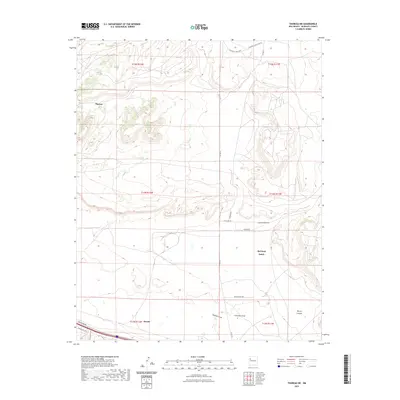
2023 Map of Thoreau NE
USGS Topo · Published 2023About this map
Thoreau and Prewitt anchor the western and southern edges of this McKinley County landscape, where the high desert terrain is defined by dramatic mesas and deep drainages. Significant natural features include the expansive Mitchell Draw and Casamero Draw, which channel seasonal water through the center of the sheet, eventually leading toward Rincon Canyon. The map details a transition from the structured township boundaries of T14N and T15N into the more rural and agricultural sections of the Red Rock Ranch. A network of local roads such as Anasazi Rd, Red Cliff Rd, and Casamero Lake Loop Rd provides access to remote homesteads and points of interest. This 2023 survey documents the contemporary rural infrastructure and topographic shifts across this high-altitude New Mexico corridor.
Find a feature on this map
23 named features on this map. Tap any name to fly to it.
Don’t see what you’re looking for? This feature index may not catch every label — zoom into the map to look around manually.
Map Details
Editions of this 2023 Thoreau NE Map
This is the sole edition of this map. No revisions or reprints were ever made.
Other maps of this area

1883 · Mt. Taylor
USGS Topo · 1:250,000

1886 · Wingate
USGS Topo · 1:250,000

1886 · Mt. Taylor
USGS Topo · 1:250,000

1892 · Wingate
USGS Topo · 1:250,000

1892 · Mt. Taylor
USGS Topo · 1:250,000

1899 · Mt. Taylor
USGS Topo · 1:250,000

1954 · Gallup
USGS Topo · 1:250,000

1957 · Bluewater
USGS Topo · 1:24,000

1957 · Goat Mountain
USGS Topo · 1:24,000

1958 · Gallup
USGS Topo · 1:250,000