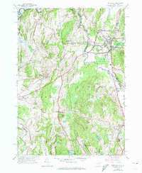
1946 Map of Thorn Hill
USGS Topo · Published 1974About this map
The Poultney River and Mettawee River carve through this borderland region between Washington County, New York, and Rutland County, Vermont. This area is noted for its connections to the Millerite movement, with the William Miller Chapel and Miller Cem standing as significant local landmarks near Low Hampton. The village of Fair Haven serves as a primary hub of settlement, where the Castleton River joins the Poultney, supporting a rail-focused infrastructure anchored by the Delaware and Hudson RR. Educational and religious history is well-represented through numerous rural schoolhouses like Sciota Sch and School No 4, alongside several historic burial grounds including St Marys Cem and the Hampton Flats Cem. The terrain is defined by a series of prominent rises such as Thorn Hill and Fish Hill, while the local economy is evidenced by a Quarry and various ponds including Crystal Lake and Hills Pond.
Find a feature on this map
49 named features on this map. Tap any name to fly to it.
Don’t see what you’re looking for? This feature index may not catch every label — zoom into the map to look around manually.
Map Details
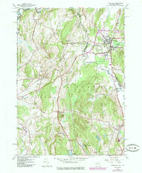
Editions of this 1946 Thorn Hill Map
2 editions found
Other maps of this area

1893 · Fort Ann
USGS Topo · 1:62,500

1893 · Whitehall
USGS Topo · 1:62,500

1894 · Pawlet
USGS Topo · 1:62,500

1895 · Whitehall
USGS Topo · 1:62,500

1895 · Fort Ann
USGS Topo · 1:62,500

1895 · Castleton
USGS Topo · 1:62,500

1897 · Pawlet
USGS Topo · 1:62,500

1897 · Castleton
USGS Topo · 1:62,500

1898 · Whitehall
USGS Topo · 1:62,500

1898 · Fort Ann
USGS Topo · 1:62,500