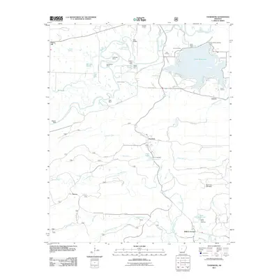
2011 Map of Thornburg
USGS Topo · Published 2011About this map
The Fourche LaFave River meanders across the northern landscape, carving distinct features like Calfneck Bend and Horseshoe Bend as it flows toward the expansive Harris Brake Lake. This reservoir, contained by the Harris Brake Dam and an auxiliary structure, is a central landmark for the surrounding communities of Antioch and Thornburg. The settlement pattern follows established county routes, connecting smaller locales like Cherry Hill and Williams Junction to local industries such as Deltic Farms.
Find a feature on this map
74 named features on this map. Tap any name to fly to it.
Don’t see what you’re looking for? This feature index may not catch every label — zoom into the map to look around manually.
Map Details
Editions of this 2011 Thornburg Map
This is the sole edition of this map. No revisions or reprints were ever made.
Other maps of this area

1889 · Morrilton No. 3
USGS Topo · 1:62,500

1890 · Benton
USGS Topo · 1:125,000

1892 · Morrillton
USGS Topo · 1:125,000

1894 · Morrillton
USGS Topo · 1:125,000

1894 · Benton
USGS Topo · 1:125,000

1955 · Little Rock
USGS Topo · 1:250,000

1956 · Little Rock
USGS Topo · 1:250,000

1956 · Russellville
USGS Topo · 1:250,000

1960 · Little Rock
USGS Topo · 1:250,000

1961 · Perryville
USGS Topo · 1:24,000