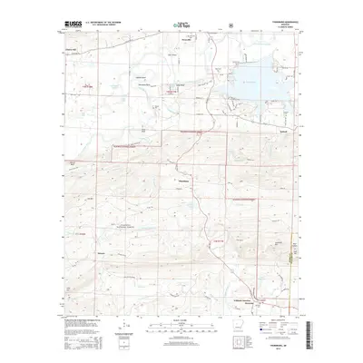
2014 Map of Thornburg
USGS Topo · Published 2014About this map
The Fourche LaFave River meanders across the northern portion of this landscape, carving distinctive river features like Calfneck Bend and Horseshoe Bend as it flows toward the expansive waters of Harris Brake. The terrain shifts dramatically to the south, where the high ridges of the Ouachita National Forest dominate. This area includes landmarks such as Link Mtn and Sausmann Mtn, with the Maumelle River and its various tributaries like Houston Cr and Brown Creek cutting through the timberland.
Find a feature on this map
98 named features on this map. Tap any name to fly to it.
Don’t see what you’re looking for? This feature index may not catch every label — zoom into the map to look around manually.
Map Details
Editions of this 2014 Thornburg Map
This is the sole edition of this map. No revisions or reprints were ever made.
Other maps of this area

1889 · Morrilton No. 3
USGS Topo · 1:62,500

1890 · Benton
USGS Topo · 1:125,000

1892 · Morrillton
USGS Topo · 1:125,000

1894 · Morrillton
USGS Topo · 1:125,000

1894 · Benton
USGS Topo · 1:125,000

1955 · Little Rock
USGS Topo · 1:250,000

1956 · Little Rock
USGS Topo · 1:250,000

1956 · Russellville
USGS Topo · 1:250,000

1960 · Little Rock
USGS Topo · 1:250,000

1961 · Perryville
USGS Topo · 1:24,000