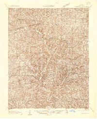
1936 Map of Thornfield
USGS Topo · Published 1936About this map
The Little North Fork White River and North Fork White River carve deep through Ozark County, defining a landscape of hollows and ridges in the mid-1930s. This territory, part of the Gardner National Forest and Mark Twain National Forest, is characterized by a high density of rural schools and family landmarks that served isolated hilltop and valley communities. Settlements like Thornfield and Theodosia act as small hubs, while numerous one-room schoolhouses such as Igo School, Oakdale Sch, and White Star Sch are scattered across the terrain.
Find a feature on this map
81 named features on this map. Tap any name to fly to it.
Don’t see what you’re looking for? This feature index may not catch every label — zoom into the map to look around manually.
Map Details
Editions of this 1936 Thornfield Map
This is the sole edition of this map. No revisions or reprints were ever made.
Other maps of this area

1890 · Mountain Home
USGS Topo · 1:125,000

1891 · Mountain Home
USGS Topo · 1:125,000

1893 · Yellville
USGS Topo · 1:125,000

1894 · Mountain Home
USGS Topo · 1:125,000
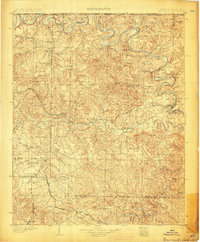
1903 · Yellville
USGS Topo · 1:125,000
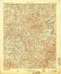
1905 · Yellville
USGS Topo · 1:125,000
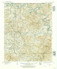
1929 · Yellville
USGS Topo · 1:125,000
1934 · Gainesville
USGS Topo · 1:48,000
1936 · Ava
USGS Topo · 1:48,000
1937 · Buckhart
USGS Topo · 1:48,000