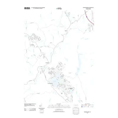
2013 Map of Thornhurst
USGS Topo · Published 2013About this map
The Lehigh River snakes through this portion of the Pocono plateau, serving as a primary drainage for a landscape defined by glacial lakes and tributary runs. The settlement of Thornhurst sits near the river's bend, while the surrounding area shows a distinct shift toward recreation and seasonal residency, evidenced by the dense street networks of Locust Lakes Village and developments surrounding Arrowhead Lake. Further north, the village of Clifton and the landmark Bradys Switch provide points of historical continuity in an area otherwise characterized by significant conservation and public lands.
Find a feature on this map
169 named features on this map. Tap any name to fly to it.
Don’t see what you’re looking for? This feature index may not catch every label — zoom into the map to look around manually.
Map Details
Editions of this 2013 Thornhurst Map
This is the sole edition of this map. No revisions or reprints were ever made.
Other maps of this area

1889 · Scranton
USGS Topo · 1:62,500

1891 · Scranton
USGS Topo · 1:62,500

1893 · Scranton
USGS Topo · 1:62,500

1919 · Pocono
USGS Topo · 1:62,500

1921 · Pocono
USGS Topo · 1:62,500

1922 · Stoddartsville
USGS Topo · 1:62,500

1923 · Pocono
USGS Topo · 1:62,500

1924 · Stoddartsville
USGS Topo · 1:62,500

1928 · Ariel
USGS Topo · 1:62,500

1932 · Ariel
USGS Topo · 1:62,500
Featured Places
- Clifton Township, PA
- Thornhurst Township, PA
- Buck Township, PA
- Coolbaugh Township, PA
- Tobyhanna Township, PA