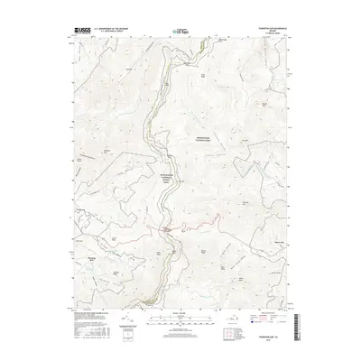
2016 Map of Thornton Gap
USGS Topo · Published 2016About this map
Sperryville sits at the eastern foot of the Blue Ridge mountains, serving as a gateway to the high elevations of Shenandoah National Park. The landscape is dominated by the steep ridges and deep hollows that define this section of the Virginia highlands, including Thornton Hollow, Frazier Hollow, and Buck Hollow. The Appalachian National Scenic Trail winds along the crest of the range, crossing several notable high points and passes such as Beahms Gap, Elkwallow Gap, and the prominent Thornton Gap.
Find a feature on this map
73 named features on this map. Tap any name to fly to it.
Don’t see what you’re looking for? This feature index may not catch every label — zoom into the map to look around manually.
Map Details
Editions of this 2016 Thornton Gap Map
This is the sole edition of this map. No revisions or reprints were ever made.
Other maps of this area

1893 · Luray
USGS Topo · 1:125,000

1905 · Luray
USGS Topo · 1:125,000

1929 · Stony Man
USGS Topo · 1:48,000

1933 · Stony Man
USGS Topo · 1:62,500

1939 · Front Royal
USGS Topo · 1:48,000

1944 · Front Royal
USGS Topo · 1:62,500

1947 · Strasburg
USGS Topo · 1:62,500

1949 · Charlottesville
USGS Topo · 1:250,000

1950 · Strasburg
USGS Topo · 1:62,500

1956 · Charlottesville
USGS Topo · 1:250,000