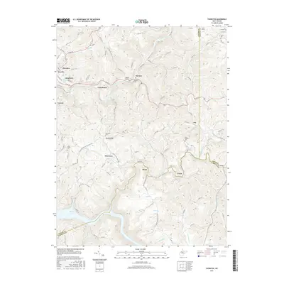
2016 Map of Thornton
USGS Topo · Published 2016About this map
The rugged river valleys and high ridges of Taylor, Preston, and Barbour counties define this landscape, where the northern waters of Tygart Lake meet the steep winding hollows of the West Virginia hills. The city of Grafton sits at the western edge, serving as a gateway to smaller surrounding settlements like Thornton, Knottsville, and Hiram. This area is characterized by a dense network of country roads following the natural contours of the land, connecting family homesteads and local landmarks such as Larew Airport and Siggens Hollow.
Find a feature on this map
104 named features on this map. Tap any name to fly to it.
Don’t see what you’re looking for? This feature index may not catch every label — zoom into the map to look around manually.
Map Details
Editions of this 2016 Thornton Map
This is the sole edition of this map. No revisions or reprints were ever made.
Other maps of this area

1886 · St. George
USGS Topo · 1:125,000

1891 · St. George
USGS Topo · 1:125,000

1902 · Fairmont
USGS Topo · 1:62,500

1904 · Philippi
USGS Topo · 1:62,500

1907 · Thornton
USGS Topo · 1:62,500

1907 · Belington
USGS Topo · 1:62,500

1923 · Fairmont
USGS Topo · 1:62,500

1925 · Philippi
USGS Topo · 1:62,500

1926 · Fairmont
USGS Topo · 1:62,500

1926 · Thornton
USGS Topo · 1:62,500