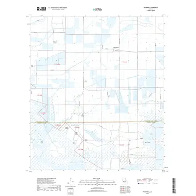
2018 Map of Thornwell
USGS Topo · Published 2018About this map
Thornwell and the surrounding coastal prairie sit at the intersection of Jefferson Davis and Cameron Parishes, defined by a complex network of agricultural irrigation and drainage infrastructure. This landscape is shaped by the Thornwell Drainage Canal and the Holton and Winn Drainage Canal, which support the region's long-standing rice and crawfish farming traditions. The settlement patterns are sparse, anchored by small communities like Lowry and Niblett, along with localized residential areas such as Coto Plot.
Find a feature on this map
49 named features on this map. Tap any name to fly to it.
Don’t see what you’re looking for? This feature index may not catch every label — zoom into the map to look around manually.
Map Details
Editions of this 2018 Thornwell Map
This is the sole edition of this map. No revisions or reprints were ever made.
Other maps of this area

1934 · Lake Misere
USGS Topo · 1:24,000

1934 · Latania Lake
USGS Topo · 1:24,000

1935 · Lake Misere
USGS Topo · 1:31,680

1935 · Latania Lake
USGS Topo · 1:31,680

1946 · Lacassine
USGS Topo · 1:31,680

1946 · Lake Arthur
USGS Topo · 1:31,680

1946 · Hayes
USGS Topo · 1:31,680

1946 · Jennings
USGS Topo · 1:31,680

1947 · Thornwell
USGS Topo · 1:31,680

1947 · Welsh
USGS Topo · 1:31,680