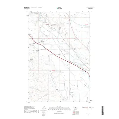
2020 Map of Thorp
USGS Topo · Published 2020About this map
The Yakima River snakes through the heart of the Kittitas Valley in this detailed survey of the area surrounding Thorp. The landscape is defined by an intricate network of irrigation infrastructure essential to the region's agricultural identity, including the North Branch Canal, W-Side Canal, and Town Canal. These man-made waterways contrast with the deeply etched natural drainage of the western uplands, where features like Rattlesnake Canyon, Winegar Canyon, and Ainsley Canyon cut through the high ground of Thorp Prairie.
Find a feature on this map
72 named features on this map. Tap any name to fly to it.
Don’t see what you’re looking for? This feature index may not catch every label — zoom into the map to look around manually.
Map Details
Editions of this 2020 Thorp Map
This is the sole edition of this map. No revisions or reprints were ever made.
Other maps of this area

1897 · Mount Stuart
USGS Topo · 1:125,000

1899 · Ellensburg
USGS Topo · 1:125,000

1901 · Ellensburg
USGS Topo · 1:125,000

1902 · Mount Stuart
USGS Topo · 1:125,000

1950 · Yakima
USGS Topo · 1:250,000

1957 · Wenatchee
USGS Topo · 1:250,000
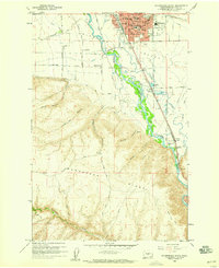
1958 · Ellensburg South
USGS Topo · 1:24,000

1958 · Thorp
USGS Topo · 1:24,000

1958 · Ellensburg
USGS Topo · 1:62,500

1958 · Thorp
USGS Topo · 1:62,500