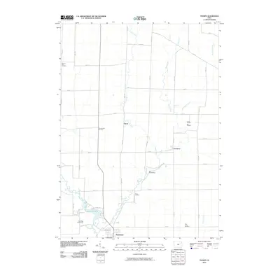
2010 Map of Thorpe
USGS Topo · Published 2010About this map
Manchester anchor the southern edge of this Delaware County landscape, where the Maquoketa River and Quaker Mill Pond create a focal point for the local geography. Moving north, the terrain is defined by a grid of rural roads and small watercourses like Honey Creek and Lindsey Creek. This area preserves several distinct clusters of local history, including the Red Schoolhouse and the small settlement of Dutchtown. Genealogists will find a high density of burial grounds scattered across the townships, such as Thorpe Union Cemetery, Mead Cemetery, and the closely grouped Hutson Cemetery and Roe Cemetery near the center of the sheet. The small community of Thorpe sits at a crossroads, representing the traditional agricultural settlement pattern of eastern Iowa as it remained at the start of the 21st century.
Find a feature on this map
40 named features on this map. Tap any name to fly to it.
Don’t see what you’re looking for? This feature index may not catch every label — zoom into the map to look around manually.
Map Details
Editions of this 2010 Thorpe Map
This is the sole edition of this map. No revisions or reprints were ever made.
Other maps of this area

1900 · Anamosa
USGS Topo · 1:125,000

1901 · Oelwein
USGS Topo · 1:125,000

1902 · Elkader
USGS Topo · 1:125,000

1903 · Winthrop
USGS Topo · 1:125,000

1959 · Dubuque
USGS Topo · 1:250,000

1961 · Dubuque
USGS Topo · 1:250,000

1962 · Dubuque
USGS Topo · 1:250,000

1964 · Edgewood
USGS Topo · 1:24,000

1964 · Garber
USGS Topo · 1:24,000

1965 · Thorpe
USGS Topo · 1:24,000