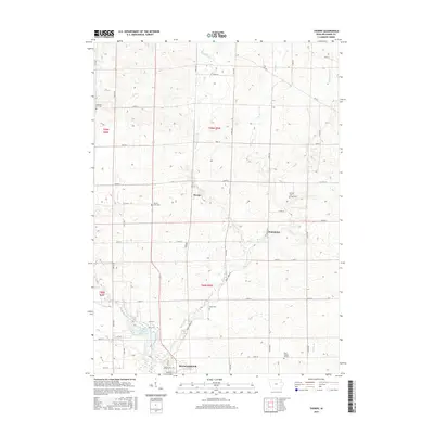
2015 Map of Thorpe
USGS Topo · Published 2015About this map
The Maquoketa River flows through the southern portion of this landscape, anchoring the northern edge of Manchester. This 2015 survey reveals a terrain defined by the complex drainage systems of Honey Creek and Lindsey Cr, which carve through the Iowa farmland to join the river. The small settlement of Thorpe sits at a crossroads near the center of the sheet, while Dutchtown occupies a position to the southeast, illustrating the persistent rural hamlets that characterize Delaware County.
Find a feature on this map
49 named features on this map. Tap any name to fly to it.
Don’t see what you’re looking for? This feature index may not catch every label — zoom into the map to look around manually.
Map Details
Editions of this 2015 Thorpe Map
This is the sole edition of this map. No revisions or reprints were ever made.
Other maps of this area

1900 · Anamosa
USGS Topo · 1:125,000

1901 · Oelwein
USGS Topo · 1:125,000

1902 · Elkader
USGS Topo · 1:125,000

1903 · Winthrop
USGS Topo · 1:125,000

1959 · Dubuque
USGS Topo · 1:250,000

1961 · Dubuque
USGS Topo · 1:250,000

1962 · Dubuque
USGS Topo · 1:250,000

1964 · Edgewood
USGS Topo · 1:24,000

1964 · Garber
USGS Topo · 1:24,000

1965 · Thorpe
USGS Topo · 1:24,000