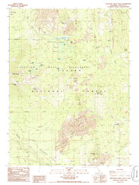
1985 Map of Thousand Lakes Valley
USGS Topo · Published 1985About this map
Lassen National Forest and the Thousand Lakes Wilderness define this high-altitude landscape in Shasta County. The terrain is dominated by volcanic features, including the Devils Garden lava flow and the prominent Magee Peak, which stands as a central landmark topped by the Magee Lookout. The area's glacial and volcanic history is evident in the dense concentration of small mountain lakes, such as Lake Eiler, Upper Twin Lake, and Hufford Lake, which dot the Thousand Lakes Valley. This map captures the mid-1980s state of the wilderness before significant modern forest management changes, showing a primitive road network and isolated resources like the Cinder Pit near Bear Wallow Butte. Water sources including Cornaz Spring and Wilcox Spring are noted alongside deep drainage features like Logan Gulch.
Find a feature on this map
37 named features on this map. Tap any name to fly to it.
Don’t see what you’re looking for? This feature index may not catch every label — zoom into the map to look around manually.
Map Details
Editions of this 1985 Thousand Lakes Valley Map
This is the sole edition of this map. No revisions or reprints were ever made.
Other maps of this area

1886 · Lassen Peak
USGS Topo · 1:250,000

1892 · Lassen Peak
USGS Topo · 1:250,000

1894 · Lassen Peak
USGS Topo · 1:250,000

1935 · Burney
USGS Topo · 1:96,000

1939 · Burney
USGS Topo · 1:125,000

1939 · Halls Flat
USGS Topo · 1:125,000

1955 · Westwood
USGS Topo · 1:250,000

1956 · Manzanita Lake
USGS Topo · 1:62,500

1957 · Prospect Peak
USGS Topo · 1:62,500

1957 · Burney
USGS Topo · 1:62,500