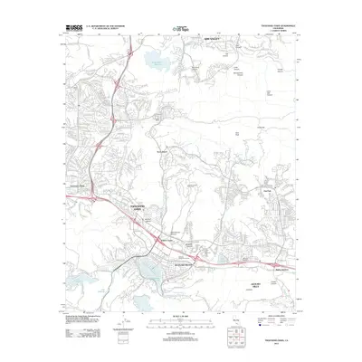
2012 Map of Thousand Oaks
USGS Topo · Published 2012About this map
Thousand Oaks and the surrounding valley communities of Westlake Village and Agoura Hills are shown at a peak of suburban development. The landscape is defined by its dramatic topography, where residential neighborhoods and golf courses like the Lakeview Canyon Golf Course meet steep canyons such as Sycamore Canyon, Skeleton Canyon, and Long Canyon. This geography creates a distinct pattern of urbanization that follows the available level ground between Simi Peak and the southern landmark known as Ladyface.
Find a feature on this map
56 named features on this map. Tap any name to fly to it.
Don’t see what you’re looking for? This feature index may not catch every label — zoom into the map to look around manually.
Map Details
Editions of this 2012 Thousand Oaks Map
This is the sole edition of this map. No revisions or reprints were ever made.
Other maps of this area

1900 · Triunfo Pass
USGS Topo · 1:62,500

1900 · Piru
USGS Topo · 1:62,500

1903 · Calabasas
USGS Topo · 1:62,500

1903 · Camulos
USGS Topo · 1:125,000

1903 · Santa Susana
USGS Topo · 1:62,500

1921 · Piru
USGS Topo · 1:62,500

1921 · Triunfo Pass
USGS Topo · 1:62,500

1929 · Vejor
USGS Topo · 1:24,000

1932 · Seminole
USGS Topo · 1:24,000

1932 · Russell Valley
USGS Topo · 1:24,000
Featured Places
- Thousand Oaks, CA
- Simi Valley, CA
- Agoura Hills, CA
- Westlake Village, CA
- Unincorporated Santa Monica Mountains, CA