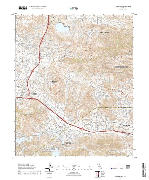
2022 Map of Thousand Oaks
USGS Topo · Published 2022About this map
The Santa Monica Mountains National Recreation Area dominates this landscape, illustrating the modern interface between dense suburban developments and expansive protected open space. In the southern half, the planned communities of Thousand Oaks, Westlake Village, and Agoura Hills are etched into a complex network of valleys and canyons. This modern survey details the extensive trail systems, such as the China Flat Trail and Paramount Ridge Trail, which serve as vital recreational arteries for residents.
Find a feature on this map
65 named features on this map. Tap any name to fly to it.
Don’t see what you’re looking for? This feature index may not catch every label — zoom into the map to look around manually.
Map Details
Editions of this 2022 Thousand Oaks Map
This is the sole edition of this map. No revisions or reprints were ever made.
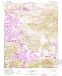
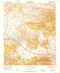
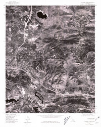
Historical Maps of Malibu Junction Through Time
4 maps found
Featured Locations
- Agoura Hills, CA
- Unincorporated Santa Monica Mountains, CA
- Westlake Village, CA
- Simi Valley, CA
- Thousand Oaks, CA