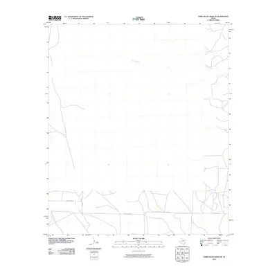
2010 Map of Three Bluff Draw NE
USGS Topo · Published 2010About this map
Sterling Creek and its seasonal drainage network define the northern reaches of this landscape in Glasscock County, part of the arid Permian Basin region of West Texas. The area is characterized by a sparse grid of rural roads and infrastructure, reflecting the sprawling ranching and energy-producing character of the era. To the south, Radio Tower Rd and Old Big Lake Rd provide the primary east-west transit through the territory, crossing through intermittent watercourses like Indian Creek and Corral Creek. This survey captures the rural layout before more modern intensifications, highlighting the basic framework of land parcels and essential transport routes that have served local cattle operations and mineral interests for generations.
Find a feature on this map
5 named features on this map. Tap any name to fly to it.
Don’t see what you’re looking for? This feature index may not catch every label — zoom into the map to look around manually.
Map Details
Editions of this 2010 Three Bluff Draw NE Map
This is the sole edition of this map. No revisions or reprints were ever made.
Other maps of this area

1954 · San Angelo
USGS Topo · 1:250,000

1958 · San Angelo
USGS Topo · 1:250,000

1963 · Glass Ranch
USGS Topo · 1:24,000

1963 · Currie Reservoir
USGS Topo · 1:24,000

1963 · Garden City
USGS Topo · 1:24,000

1965 · San Angelo
USGS Topo · 1:250,000

1973 · Hay Hollow
USGS Topo · 1:24,000

1973 · Three Bluff Draw
USGS Topo · 1:24,000

1973 · Three Bluff Draw NE
USGS Topo · 1:24,000
1973 · Coon Dive Draw NW
USGS Topo · 1:24,000