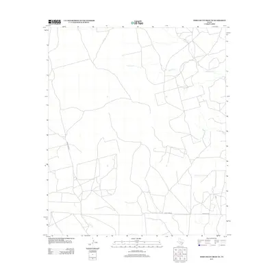
2012 Map of Three Bluff Draw NE
USGS Topo · Published 2012About this map
Sterling Cr and Concho Cr trace the drainage patterns across this portion of Glasscock County, defining a landscape marked by intermittent watercourses and expansive land divisions. The terrain is structured by a network of ranch and service roads, including Radio Tower RD and Old Big Lake Rd, which connect the more remote reaches of the West Texas plains. The presence of Private Road 2815 and various unnamed tracks suggests a pattern of large-scale landholdings and energy or agricultural operations common to the region. In the southwestern corner, Indian Cr cuts through the surveyed grid, illustrating the natural hydrological features that dictate the orientation of local infrastructure in this semi-arid environment.
Find a feature on this map
6 named features on this map. Tap any name to fly to it.
Don’t see what you’re looking for? This feature index may not catch every label — zoom into the map to look around manually.
Map Details
Editions of this 2012 Three Bluff Draw NE Map
This is the sole edition of this map. No revisions or reprints were ever made.
Other maps of this area

1954 · San Angelo
USGS Topo · 1:250,000

1958 · San Angelo
USGS Topo · 1:250,000

1963 · Glass Ranch
USGS Topo · 1:24,000

1963 · Currie Reservoir
USGS Topo · 1:24,000

1963 · Garden City
USGS Topo · 1:24,000

1965 · San Angelo
USGS Topo · 1:250,000

1973 · Hay Hollow
USGS Topo · 1:24,000

1973 · Three Bluff Draw
USGS Topo · 1:24,000

1973 · Three Bluff Draw NE
USGS Topo · 1:24,000
1973 · Coon Dive Draw NW
USGS Topo · 1:24,000