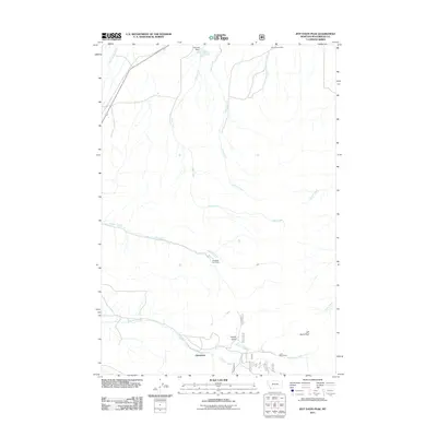
2011 Map of Three Eagles Peak
USGS Topo · Published 2011About this map
Chinatown sits at the southern edge of this Montana landscape, where the waters of Colorado Creek and Jeff Davis Creek converge. The area is defined by a network of seasonal drainages and mining history, with the Lucky Strike Mine positioned just east of the settlement and the Pierce Ranch Mine located to the north near the headwaters of Alkali Creek. The terrain transitions from the lowlands of Horse Prairie Creek toward the prominent height of Jeff Davis Peak in the southeast.
Find a feature on this map
22 named features on this map. Tap any name to fly to it.
Don’t see what you’re looking for? This feature index may not catch every label — zoom into the map to look around manually.
Map Details
Editions of this 2011 Three Eagles Peak Map
This is the sole edition of this map. No revisions or reprints were ever made.
Other maps of this area

1955 · Dubois
USGS Topo · 1:250,000

1955 · Dillon
USGS Topo · 1:250,000

1957 · Dillon
USGS Topo · 1:250,000

1958 · Dubois
USGS Topo · 1:250,000

1958 · Dillon
USGS Topo · 1:250,000

1959 · Grant
USGS Topo · 1:62,500

1962 · Dillon
USGS Topo · 1:250,000

1965 · Dillon
USGS Topo · 1:250,000

1965 · Deadman Pass
USGS Topo · 1:24,000

1965 · Jeff Davis Peak
USGS Topo · 1:24,000