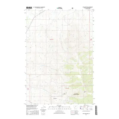
2017 Map of Three Eagles Peak
USGS Topo · Published 2017About this map
Chinatown sits at the base of the high country in Beaverhead County, a focal point for researchers of Montana's mining-era settlements. This 2017 study illustrates the drainage network of the Pioneer Mountains, where Jeff Davis Cr flows through French Gulch toward the Beaverhead National Forest boundary. The landscape is defined by its complex hydrography, including Horse Prairie Cr and Shenon Cr, which carve through the high elevations near Jeff Davis Peak. The inclusion of Maiden Creek Rd provides a reference for the limited modern access to these remote western lands, while the Township and Range gridlines delineate the legacy of federal land surveys across this terrain of creeks and gulches.
Find a feature on this map
17 named features on this map. Tap any name to fly to it.
Don’t see what you’re looking for? This feature index may not catch every label — zoom into the map to look around manually.
Map Details
Editions of this 2017 Three Eagles Peak Map
This is the sole edition of this map. No revisions or reprints were ever made.
Other maps of this area

1955 · Dubois
USGS Topo · 1:250,000

1955 · Dillon
USGS Topo · 1:250,000

1957 · Dillon
USGS Topo · 1:250,000

1958 · Dubois
USGS Topo · 1:250,000

1958 · Dillon
USGS Topo · 1:250,000

1959 · Grant
USGS Topo · 1:62,500

1962 · Dillon
USGS Topo · 1:250,000

1965 · Dillon
USGS Topo · 1:250,000

1965 · Deadman Pass
USGS Topo · 1:24,000

1965 · Jeff Davis Peak
USGS Topo · 1:24,000