
1945 Map of Three Lakes
USGS Topo · Published 1946About this map
The Chicago and Northwestern railroad corridor anchors this mid-century look at the Northwoods, connecting the established hubs of Eagle River, Clearwater Lake, and Three Lakes. The map reveals a landscape defined by an intricate network of waterways, including the Deerskin River, Eagle Lake, and the sprawling Blackjack Springs area.
Find a feature on this map
106 named features on this map. Tap any name to fly to it.
Don’t see what you’re looking for? This feature index may not catch every label — zoom into the map to look around manually.
Map Details
Editions of this 1945 Three Lakes Map
3 editions found
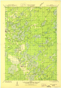
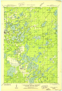
Other maps of this area

1928 · Three Lakes
USGS Topo · 1:48,000

1930 · Robbins
USGS Topo · 1:48,000

1938 · Phelps
USGS Topo · 1:48,000

1938 · Alvin
USGS Topo · 1:48,000

1938 · Three Lakes
USGS Topo · 1:48,000

1938 · Robbins
USGS Topo · 1:48,000

1939 · Crandon
USGS Topo · 1:48,000

1940 · Monico
USGS Topo · 1:48,000

1940 · Rhinelander
USGS Topo · 1:48,000

1941 · Crandon
USGS Topo · 1:48,000