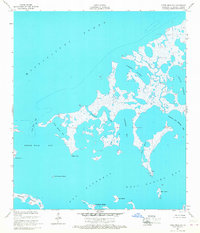
1955 Map of Three Mile Bay
USGS Topo · Published 1968About this map
Mississippi Sound defines the northern reaches of this coastal landscape, where the tides of the mid-1950s meet a complex network of marshlands and inlets. The area is characterized by shifting water bodies such as Boudreau Bay and Three Mile Bay, separated by low-lying points like Shell Point and Negro Point. This survey, compiled from 1952 aerial photography and planetable work, captures the intricate hydrography of St. Bernard Parish before modern shoreline changes. Navigational landmarks like Three Mile Pass and family-named features including Northwest Jack Williams Bay highlight the local geography of the wetlands. The map details an environment dominated by water and small islands, including Crooked Island and Mink Island, illustrating the primitive coastal conditions of the era where no roads or trails yet penetrated the marsh.
Find a feature on this map
19 named features on this map. Tap any name to fly to it.
Don’t see what you’re looking for? This feature index may not catch every label — zoom into the map to look around manually.
Map Details
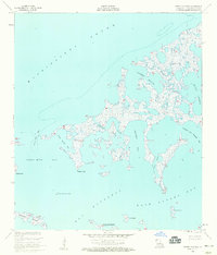
Editions of this 1955 Three Mile Bay Map
2 editions found
Other maps of this area

1893 · Cat Island
USGS Topo · 1:62,500

1893 · Chandeleur
USGS Topo · 1:62,500

1893 · Toulme
USGS Topo · 1:62,500

1895 · Bodreau
USGS Topo · 1:62,500

1935 · Grand Island Pass
USGS Topo · 1:31,680

1935 · Mitchell Keys
USGS Topo · 1:31,680

1946 · Oak Mound Bayou
USGS Topo · 1:31,680

1946 · Isle Au Pitre
USGS Topo · 1:31,680

1946 · Lake Eugenie
USGS Topo · 1:31,680

1946 · Malheureux Point
USGS Topo · 1:31,680