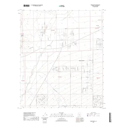
2018 Map of Three Points
USGS Topo · Published 2018About this map
The high desert community of Three Points anchors this 2018 survey of Pima County, positioned within the expansive Altar Valley. The landscape is defined by its arid-land water management and drainage networks, with ephemeral systems like Brawley Wash, Mendoza Wash, and Soto Wash cutting across the terrain. To the west, the foothills of the Roskruge Mountains rise from the valley floor. Evidence of ranching and remote land use is seen in the series of livestock watering holes scattered throughout the quadrangle, including Javelina Tank, San Juan Tank, and Lost Tank. While much of the area remains open rangeland, a dense grid of residential roads north of the main settlement indicates contemporary development patterns, with uniquely named thoroughfares such as Honeysuckle Farm Trl and Howling Coyote Trl providing local character to this corner of the Sonoran desert.
Find a feature on this map
101 named features on this map. Tap any name to fly to it.
Don’t see what you’re looking for? This feature index may not catch every label — zoom into the map to look around manually.
Map Details
Editions of this 2018 Three Points Map
This is the sole edition of this map. No revisions or reprints were ever made.
Other maps of this area

1920 · Arivaca
USGS Topo · 1:125,000

1925 · Samaniego Peak
USGS Topo · 1:62,500

1925 · San Xavier
USGS Topo · 1:62,500

1934 · Tucson Mountains
USGS Topo · 1:125,000

1939 · Twin Buttes
USGS Topo · 1:62,500

1940 · Palo Alto Ranch
USGS Topo · 1:62,500

1941 · Twin Buttes
USGS Topo · 1:62,500

1941 · Cocoraque Butte
USGS Topo · 1:62,500

1943 · Cocoraque Butte
USGS Topo · 1:62,500

1943 · Palo Alto Ranch
USGS Topo · 1:62,500