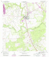
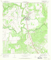
1967 Map of Three Rivers
USGS Topo · Published 1986About this map
Three Rivers serves as the focal point of this South Texas landscape, situated at the confluence of the Frio River and the Nueces River. The 1967 survey data, updated in 1984, reveals a town supported by the Missouri Pacific railroad and local industry, indicated by a Refinery and numerous Gravel Pits along the riverbanks. The western edge of the map is dominated by the Choke Canyon Reservoir, a major water management feature that transformed the local topography.
Find a feature on this map
24 named features on this map. Tap any name to fly to it.
Don’t see what you’re looking for? This feature index may not catch every label — zoom into the map to look around manually.
Map Details
Editions of this 1967 Three Rivers Map
2 editions found
Other maps of this area

1920 · Mikeska
USGS Topo · 1:125,000

1925 · Oakville No. 4
USGS Topo · 1:48,000

1925 · Simmons No. 1
USGS Topo · 1:48,000

1927 · Oakville
USGS Topo · 1:62,500

1929 · Simmons
USGS Topo · 1:62,500

1930 · Whitsett
USGS Topo · 1:62,500

1942 · Whitsett
USGS Topo · 1:62,500

1953 · Crystal City
USGS Topo · 1:250,000

1955 · Crystal City
USGS Topo · 1:250,000

1956 · Suniland
USGS Topo · 1:62,500