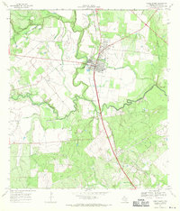
1967 Map of Three Rivers
USGS Topo · Published 1971About this map
Three Rivers stands as the central hub of this 1967 survey, situated at the strategic convergence of the Frio River, Nueces River, and Atascosa River (which lends its name to the quadrangle just north). The landscape is defined by the industrial and transport infrastructure of the late 1960s, featuring a Refinery and a Sewage Disposal plant on the western edge of town, alongside a local Hospital. The Missouri Pacific railroad tracks bisect the community, running parallel to the main highway corridor.
Find a feature on this map
29 named features on this map. Tap any name to fly to it.
Don’t see what you’re looking for? This feature index may not catch every label — zoom into the map to look around manually.
Map Details
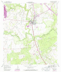
Editions of this 1967 Three Rivers Map
2 editions found
Other maps of this area

1920 · Mikeska
USGS Topo · 1:125,000

1925 · Oakville No. 4
USGS Topo · 1:48,000

1925 · Simmons No. 1
USGS Topo · 1:48,000

1927 · Oakville
USGS Topo · 1:62,500

1929 · Simmons
USGS Topo · 1:62,500

1930 · Whitsett
USGS Topo · 1:62,500

1942 · Whitsett
USGS Topo · 1:62,500

1953 · Crystal City
USGS Topo · 1:250,000

1955 · Crystal City
USGS Topo · 1:250,000

1956 · Suniland
USGS Topo · 1:62,500