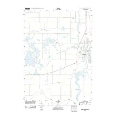
2011 Map of Three Rivers West
USGS Topo · Published 2011About this map
Three Rivers serves as the focal point of this Saint Joseph County landscape, situated at the confluence of the Rocky River, Portage River, and the Saint Joseph River. This 2011 survey reveals a region defined by its complex hydrology and early 21st-century recreational land use. Numerous lakes dot the western portion of the map, including Corey Lake, Pleasant Lake, and Clear Lake, which are accompanied by established seasonal sites like Latvian Garezers Camp and Camp Wakeshma. For those tracing local heritage, the map identifies several rural burial grounds such as Beadle Cemetery, Knobhill Cemetery, and the Saint Gregory's Episcopal Abbey Cemetery. The road network and drainage systems, like the Armalege Drain, highlight the balance between the area's natural wetlands and its agricultural development, while landmarks such as the Three Rivers Post Office and Florence Bridge anchor the community's infrastructure.
Find a feature on this map
36 named features on this map. Tap any name to fly to it.
Don’t see what you’re looking for? This feature index may not catch every label — zoom into the map to look around manually.
Map Details
Editions of this 2011 Three Rivers West Map
This is the sole edition of this map. No revisions or reprints were ever made.
Other maps of this area

1914 · Three Rivers
USGS Topo · 1:62,500

1916 · Three Rivers
USGS Topo · 1:62,500

1922 · Schoolcraft
USGS Topo · 1:62,500

1943 · Three Rivers
USGS Topo · 1:62,500

1943 · Schoolcraft
USGS Topo · 1:62,500

1944 · Marcellus
USGS Topo · 1:62,500

1946 · Marcellus
USGS Topo · 1:62,500

1948 · Vandalia
USGS Topo · 1:62,500

1949 · Vandalia
USGS Topo · 1:62,500

1953 · Fort Wayne
USGS Topo · 1:250,000