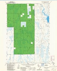
1980 Map of Thunder Creek
USGS Topo · Published 1985About this map
Chequamegon National Forest dominates this landscape in the mid-1970s, with the Park Falls Ranger District covering the timbered terrain across the Price and Oneida county line. The map illustrates a northern Wisconsin wilderness transitioning from its industrial logging past to a managed forest. This transition is marked by the presence of an Old Railroad Grade and an Old Grade cutting through the western sections, remnants of the infrastructure once used to harvest the region's timber.
Find a feature on this map
16 named features on this map. Tap any name to fly to it.
Don’t see what you’re looking for? This feature index may not catch every label — zoom into the map to look around manually.
Map Details
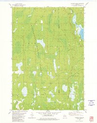
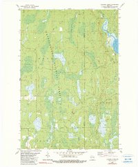
Editions of this 1980 Thunder Creek Map
3 editions found
Other maps of this area

1938 · Lac Du Flambeau
USGS Topo · 1:48,000

1939 · Lac Du Flambeau
USGS Topo · 1:48,000

1939 · Mc Cord
USGS Topo · 1:48,000

1941 · Pike Lake
USGS Topo · 1:48,000

1941 · Brantwood
USGS Topo · 1:48,000

1942 · Pike Lake
USGS Topo · 1:48,000

1943 · Brantwood
USGS Topo · 1:48,000

1946 · Lac Du Flambeau
USGS Topo · 1:48,000

1947 · Mc Cord
USGS Topo · 1:48,000

1950 · Pike Lake
USGS Topo · 1:48,000