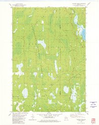
1980 Map of Thunder Creek
USGS Topo · Published 1980About this map
Chequamegon National Forest dominates this northern Wisconsin landscape, revealing a dense network of hydrologic features and timber-management infrastructure. The eastern edge of the survey is defined by the winding Willow River and the broad expanse of Willow Lake, while numerous smaller drainages like Stony Creek, Thunder Creek, and Scott Creek permeate the wooded sections of Lynn and Hackett. Evidence of the region's logging and industrial history is visible in the prominent Old Railroad Grade cutting through the forest, which once served as a primary transportation artery through the timberlands. The small settlement of Dover stands as one of the few named community nodes in this largely uninhabited territory, which is further marked by several Gravel Pits and a grid of rural routes including Turcott Road and Ottobez Rd.
Find a feature on this map
18 named features on this map. Tap any name to fly to it.
Don’t see what you’re looking for? This feature index may not catch every label — zoom into the map to look around manually.
Map Details
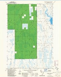
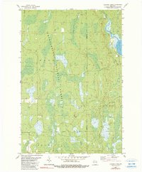
Editions of this 1980 Thunder Creek Map
3 editions found
Other maps of this area

1938 · Lac Du Flambeau
USGS Topo · 1:48,000

1939 · Lac Du Flambeau
USGS Topo · 1:48,000

1939 · Mc Cord
USGS Topo · 1:48,000

1941 · Pike Lake
USGS Topo · 1:48,000

1941 · Brantwood
USGS Topo · 1:48,000

1942 · Pike Lake
USGS Topo · 1:48,000

1943 · Brantwood
USGS Topo · 1:48,000

1946 · Lac Du Flambeau
USGS Topo · 1:48,000

1947 · Mc Cord
USGS Topo · 1:48,000

1950 · Pike Lake
USGS Topo · 1:48,000