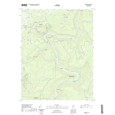
2019 Map of Thurmond
USGS Topo · Published 2019About this map
Oak Hill stands as the primary hub in this mountainous region of Fayette County, where the plateau drops sharply into the winding canyon of the New River Gorge National River. This geography defined the area’s development, forcing settlements like Thurmond and McKendree to cling to the narrow banks and steep slopes of the New River. The map documents a landscape transitioning from its industrial coal-mining past toward conservation and recreation. Traces of that history remain visible in the dense network of county roads and named locations such as Sewell, Beury, and Claremont, which once thrived as busy rail and mining towns along the canyon floor. From the higher elevations at Pea Ridge and Garden Ground Mtn to the water-level Surprise Rapids, the map illustrates how the rugged terrain dictated the placement of infrastructure like the Thurmond-McKendree Rd and the Thayer Post Office.
Find a feature on this map
126 named features on this map. Tap any name to fly to it.
Don’t see what you’re looking for? This feature index may not catch every label — zoom into the map to look around manually.
Map Details
Editions of this 2019 Thurmond Map
This is the sole edition of this map. No revisions or reprints were ever made.
Other maps of this area

1887 · Hinton
USGS Topo · 1:125,000

1889 · Nicholas
USGS Topo · 1:125,000

1891 · Nicholas
USGS Topo · 1:125,000

1891 · Raleigh
USGS Topo · 1:125,000

1892 · Hinton
USGS Topo · 1:125,000

1897 · Kanawha Falls
USGS Topo · 1:125,000

1897 · Raleigh
USGS Topo · 1:125,000

1900 · Kanawha Falls
USGS Topo · 1:125,000

1901 · Nicholas
USGS Topo · 1:125,000

1901 · Kanawha Falls
USGS Topo · 1:125,000