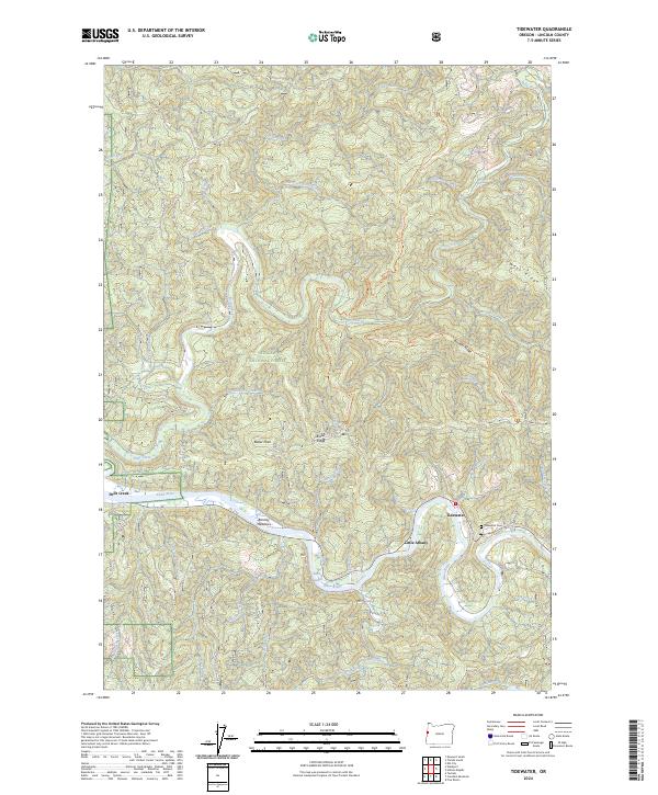
2024 Map of Tidewater
USGS Topo · Published 2024About this map
The Alsea River meanders through the heart of this coastal Oregon landscape, defining the character of small settlements like Tidewater and Little Albany. The terrain is marked by the transition from riverine flats at Barclay Meadows to the high ridges of the Siuslaw National Forest and the Drift Creek Wilderness. Local history and genealogy are anchored at the Tidewater Cem and the small cluster at Drift-Creek. The map details a complex network of drainages including Bain Slough and Risley Creek, while high points like Butler Peak provide a vista over the West Ridge and Boulder Ridge. This modern survey traces the enduring geography of Lincoln County where forest trails such as the Horse Creek Trail South connect the river valleys to the interior heights.
Find a feature on this map
46 named features on this map. Tap any name to fly to it.
Don’t see what you’re looking for? This feature index may not catch every label — zoom into the map to look around manually.
Map Details
Editions of this 2024 Tidewater Map
This is the sole edition of this map. No revisions or reprints were ever made.
Other maps of this area

1922 · Waldport
USGS Topo · 1:62,500

1942 · Waldport
USGS Topo · 1:62,500

1942 · Yaquina
USGS Topo · 1:62,500

1942 · Tidewater
USGS Topo · 1:62,500

1942 · Toledo
USGS Topo · 1:62,500

1953 · Salem
USGS Topo · 1:250,000

1954 · Salem
USGS Topo · 1:250,000

1956 · Tidewater
USGS Topo · 1:62,500

1956 · Waldport
USGS Topo · 1:62,500

1957 · Yaquina
USGS Topo · 1:62,500