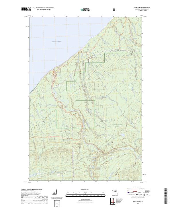
2023 Map of Tiebel Creek
USGS Topo · Published 2023About this map
Lake Superior shorelines and the dramatic falls of the Presque Isle River define this corner of the western Upper Peninsula within the Ottawa National Forest. The landscape is dominated by the Porcupine Mountains, where the North Country National Scenic Trl winds through Porcupine Mountains State Park, following the high ridges and river valleys. This 2023 survey documents a network of protected waters and recreational infrastructure, including numerous named cascades such as Manabezho Falls, Manido Falls, and Nawadaha Falls.
Find a feature on this map
43 named features on this map. Tap any name to fly to it.
Don’t see what you’re looking for? This feature index may not catch every label — zoom into the map to look around manually.
Map Details
Editions of this 2023 Tiebel Creek Map
This is the sole edition of this map. No revisions or reprints were ever made.
Other maps of this area

1953 · Ashland
USGS Topo · 1:250,000

1956 · Carp River
USGS Topo · 1:62,500

1956 · North Ironwood
USGS Topo · 1:62,500

1956 · Thomaston
USGS Topo · 1:62,500

1958 · Ashland
USGS Topo · 1:250,000

1958 · Iron River
USGS Topo · 1:250,000

1960 · Iron River
USGS Topo · 1:250,000

1961 · Iron River
USGS Topo · 1:250,000

1967 · Iron River
USGS Topo · 1:250,000

1979 · Ontonagon
USGS Topo · 1:100,000