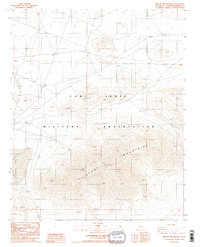
1986 Map of Tiefort Mountains
USGS Topo · Published 1986About this map
The Fort Irwin Military Reservation dominates this mid-1980s landscape, illustrating the specialized infrastructure of a high-desert training installation. At the center of the sheet, the Tiefort Mountains rise sharply, punctuated by high points such as Tiefort 3876. The dry lakebed of Bicycle Lake to the west serves as a distinctive natural landmark, flanked by a dedicated Landing Strip and specialized communication and training sites including a Radio Artillery Facility and multiple other Radio Facility locations.
Find a feature on this map
12 named features on this map. Tap any name to fly to it.
Don’t see what you’re looking for? This feature index may not catch every label — zoom into the map to look around manually.
Map Details
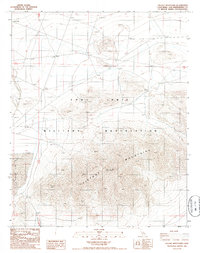
Editions of this 1986 Tiefort Mountains Map
2 editions found
Other maps of this area

1933 · Avawatz Mountains
USGS Topo · 1:250,000

1947 · Trona
USGS Topo · 1:250,000

1948 · Red Pass Lake
USGS Topo · 1:62,500

1948 · Trona
USGS Topo · 1:250,000

1948 · Alvord Mountain
USGS Topo · 1:62,500

1948 · Cave Mountain
USGS Topo · 1:62,500

1948 · Tiefort Mountains
USGS Topo · 1:62,500

1951 · Tiefort Mountains
USGS Topo · 1:62,500

1951 · Cave Mountain
USGS Topo · 1:62,500

1951 · Alvord Mountain
USGS Topo · 1:62,500