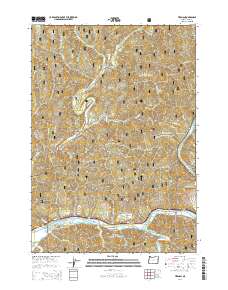
2014 Map of Tiernan
USGS Topo · Published 2014About this map
The Siuslaw River valley dominates this portion of Lane County, Oregon, where the waterway carves a wide path toward Duncan Inlet. The small settlement of Tiernan sits along the northern bank, positioned between State Hwy 126 and the river's edge, while Point Terrace occupies the southern bank further east. This area is characterized by the complex drainage network of the Siuslaw National Forest, where the North Fork Siuslaw River joins the main stem near the community of Minerva. The terrain rises sharply away from the river flats into timbered heights such as Neely Mtn and Hanson Ridge. Smaller creeks like Sweet Creek and McLeod Cr dissect the landscape, creating narrow corridors for local travel through the heavily forested ridges and canyons typical of the Oregon Coast Range.
Find a feature on this map
59 named features on this map. Tap any name to fly to it.
Don’t see what you’re looking for? This feature index may not catch every label — zoom into the map to look around manually.
Map Details
Editions of this 2014 Tiernan Map
This is the sole edition of this map. No revisions or reprints were ever made.
Other maps of this area
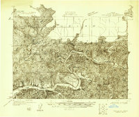
1918 · Mapleton
USGS Topo · 1:48,000
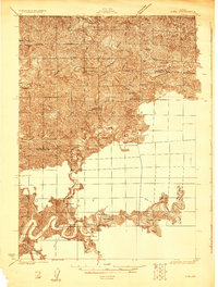
1919 · Earl
USGS Topo · 1:48,000
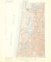
1920 · Siltcoos Lake
USGS Topo · 1:62,500
1920 · Heceta Head
USGS Topo · 1:62,500
1940 · Mapleton
USGS Topo · 1:62,500
1941 · Siltcoos Lake
USGS Topo · 1:62,500
1942 · Heceta Head
USGS Topo · 1:62,500
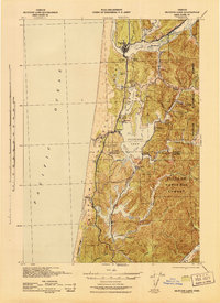
1942 · Siltcoos Lake
USGS Topo · 1:62,500
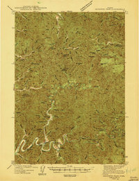
1943 · Goodwin Peak
USGS Topo · 1:62,500
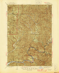
1945 · Mapleton
USGS Topo · 1:62,500