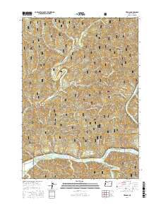
2017 Map of Tiernan
USGS Topo · Published 2017About this map
The Siuslaw River and its intricate drainage network define the geography of this Lane County coastal region. Settlement is concentrated along the riverbanks and narrow canyon floors, with the communities of Tiernan, Point Terrace, and Brickerville positioned near the confluence of the river and Sweet Creek. The terrain is characterized by sharp relief and numerous named canyons and ridges, such as Misery Ridge, Stout Canyon, and David Ridge, many of which fall within the boundaries of the Siuslaw National Forest.
Find a feature on this map
64 named features on this map. Tap any name to fly to it.
Don’t see what you’re looking for? This feature index may not catch every label — zoom into the map to look around manually.
Map Details
Editions of this 2017 Tiernan Map
This is the sole edition of this map. No revisions or reprints were ever made.
Other maps of this area
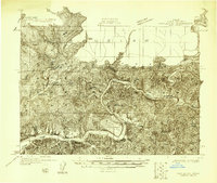
1918 · Mapleton
USGS Topo · 1:48,000
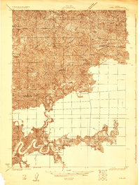
1919 · Earl
USGS Topo · 1:48,000
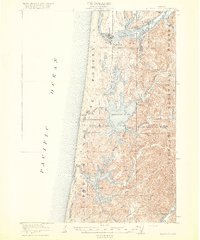
1920 · Siltcoos Lake
USGS Topo · 1:62,500
1920 · Heceta Head
USGS Topo · 1:62,500
1940 · Mapleton
USGS Topo · 1:62,500
1941 · Siltcoos Lake
USGS Topo · 1:62,500
1942 · Heceta Head
USGS Topo · 1:62,500
1942 · Siltcoos Lake
USGS Topo · 1:62,500
1943 · Goodwin Peak
USGS Topo · 1:62,500
1945 · Mapleton
USGS Topo · 1:62,500