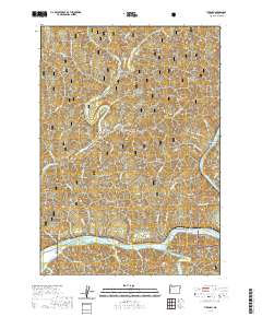
2020 Map of Tiernan
USGS Topo · Published 2020About this map
The Siuslaw River winds through the southern portion of this region, creating a distinct riparian corridor that includes Tiernan and the riverside settlement of Point Terrace. This coastal mountain landscape is defined by the high ridges of the Siuslaw National Forest, where features like Misery Ridge, David Ridge, and Neely Mtn overlook deep drainages. To the north, the N Fork Siuslaw River supports the community of Minerva, while the eastern border is marked by Brickerville and the confluence of McLeod Creek. The map documents a complex network of named water bodies, from Sweet Creek and Duncan Inlet in the south to the northern reaches of Drew Creek. This area illustrates the relationship between the river-bottom settlements and the timbered heights of the Oregon Coast Range, connected by the primary transit route of State Route 126.
Find a feature on this map
57 named features on this map. Tap any name to fly to it.
Don’t see what you’re looking for? This feature index may not catch every label — zoom into the map to look around manually.
Map Details
Editions of this 2020 Tiernan Map
This is the sole edition of this map. No revisions or reprints were ever made.
Other maps of this area
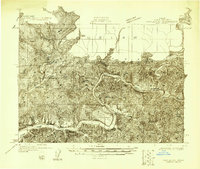
1918 · Mapleton
USGS Topo · 1:48,000
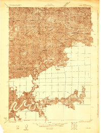
1919 · Earl
USGS Topo · 1:48,000
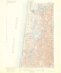
1920 · Siltcoos Lake
USGS Topo · 1:62,500
1920 · Heceta Head
USGS Topo · 1:62,500
1940 · Mapleton
USGS Topo · 1:62,500
1941 · Siltcoos Lake
USGS Topo · 1:62,500
1942 · Heceta Head
USGS Topo · 1:62,500
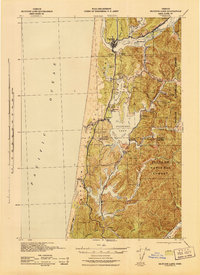
1942 · Siltcoos Lake
USGS Topo · 1:62,500
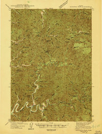
1943 · Goodwin Peak
USGS Topo · 1:62,500
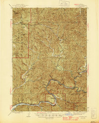
1945 · Mapleton
USGS Topo · 1:62,500