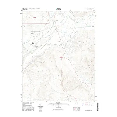
2017 Map of Tierra Amarilla
USGS Topo · Published 2017About this map
The settlement of Tierra Amarilla anchors this high-elevation landscape in Rio Arriba County, where a complex network of traditional acequias and community ditches sustains the local valley. Notable waterways like the Tierra Amarilla Ditch, El Porvenir Community Ditch, and La Cruz Ditch reveal a historical reliance on communal water management for agriculture. The confluence of the Rio Brazos and Rio Chama provides the geographic framework for a series of distinct villages, including Los Ojos, Ensenada, and La Puente. This 2017 survey details the transition from these irrigated valley floors to the rising terrain of the Carson National Forest region, traced by numerous mountain creeks such as Chavez Cr and Rito de los Ojos. Modern infrastructure, including the Ensenada Airport and routes like Henrys Village, integrates with these centuries-old settlement patterns.
Find a feature on this map
37 named features on this map. Tap any name to fly to it.
Don’t see what you’re looking for? This feature index may not catch every label — zoom into the map to look around manually.
Map Details
Editions of this 2017 Tierra Amarilla Map
This is the sole edition of this map. No revisions or reprints were ever made.
Other maps of this area
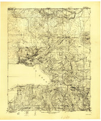
1918 · Tusas
USGS Topo · 1:125,000

1954 · Aztec
USGS Topo · 1:250,000
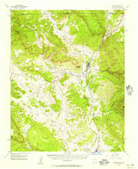
1955 · Chama
USGS Topo · 1:62,500
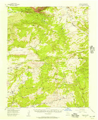
1955 · Cebolla
USGS Topo · 1:62,500
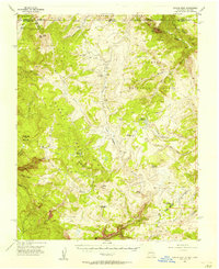
1955 · Brazos Peak
USGS Topo · 1:62,500
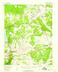
1955 · Tierra Amarilla
USGS Topo · 1:62,500
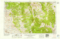
1958 · Aztec
USGS Topo · 1:250,000
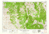
1962 · Aztec
USGS Topo · 1:250,000
1965 · Aztec
USGS Topo · 1:250,000
1981 · Chama
USGS Topo · 1:100,000