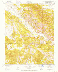
1949 Map of Tierra Redonda Mountain
USGS Topo · Published 1952About this map
The San Antonio River carves a central path through this section of the Central Coast ranges, where the Hunter Liggett Military Reservation occupies much of the northern landscape. Recorded just after the Second World War, the map details a region defined by its steep canyons and isolated valleys, including Hames Valley and Harris Valley. Small outposts of human settlement appear at the community of Pleyto, which includes a small Cem, and at the Branch Ranch located near the river's bend.
Find a feature on this map
23 named features on this map. Tap any name to fly to it.
Don’t see what you’re looking for? This feature index may not catch every label — zoom into the map to look around manually.
Map Details
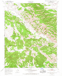
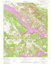
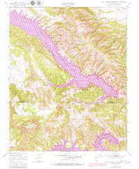
Editions of this 1949 Tierra Redonda Mountain Map
4 editions found
Other maps of this area

1919 · Bryson
USGS Topo · 1:62,500

1919 · Bradley
USGS Topo · 1:62,500

1919 · Adelaida
USGS Topo · 1:62,500

1919 · San Simeon
USGS Topo · 1:62,500

1932 · Adelaida
USGS Topo · 1:62,500

1937 · San Simeon
USGS Topo · 1:62,500

1941 · Bradley
USGS Topo · 1:62,500

1941 · Bryson
USGS Topo · 1:62,500

1942 · Adelaida
USGS Topo · 1:62,500

1942 · Bryson
USGS Topo · 1:62,500