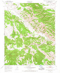
1949 Map of Tierra Redonda Mountain
USGS Topo · Published 1967About this map
Pleyto and Bee Rock serve as focal points in this rugged interior landscape of Central California, where the San Antonio River carves a deep path through the canyon lands of Southern Monterey County. Much of the northern terrain is occupied by the Hunter Liggett Military Reservation, an expansive training ground established shortly before this 1947 aerial survey. The map reveals a land defined by its dramatic relief, from the broad Hames Valley in the northeast to the prominent summit of Tierra Redonda Mountain in the southwest.
Find a feature on this map
25 named features on this map. Tap any name to fly to it.
Don’t see what you’re looking for? This feature index may not catch every label — zoom into the map to look around manually.
Map Details
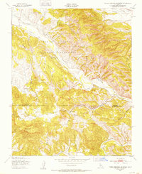
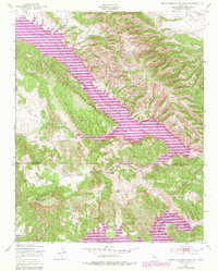
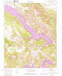
Editions of this 1949 Tierra Redonda Mountain Map
4 editions found
Other maps of this area

1919 · Bryson
USGS Topo · 1:62,500

1919 · Bradley
USGS Topo · 1:62,500

1919 · Adelaida
USGS Topo · 1:62,500

1919 · San Simeon
USGS Topo · 1:62,500

1932 · Adelaida
USGS Topo · 1:62,500

1937 · San Simeon
USGS Topo · 1:62,500

1941 · Bradley
USGS Topo · 1:62,500

1941 · Bryson
USGS Topo · 1:62,500

1942 · Adelaida
USGS Topo · 1:62,500

1942 · Bryson
USGS Topo · 1:62,500