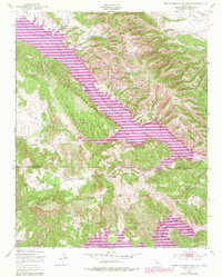
1949 Map of Tierra Redonda Mountain
USGS Topo · Published 1979About this map
The San Antonio Reservoir and Nacimiento Reservoir dominate this central California landscape at the border of Monterey and San Luis Obispo Counties. This 1949 survey, updated with revisions from 1976, captures the dramatic terrain of the Santa Lucia Range foothills, centered on the prominent Tierra Redonda Mountain. The mapping reveals the infrastructure of water management in the region, including the San Antonio Dam and the Nacimiento Dam which transformed the San Antonio River and Nacimiento River valleys.
Find a feature on this map
17 named features on this map. Tap any name to fly to it.
Don’t see what you’re looking for? This feature index may not catch every label — zoom into the map to look around manually.
Map Details
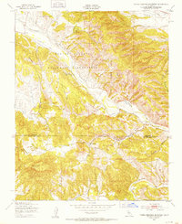
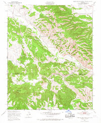
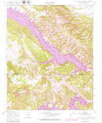
Editions of this 1949 Tierra Redonda Mountain Map
4 editions found
Other maps of this area

1919 · Bryson
USGS Topo · 1:62,500

1919 · Bradley
USGS Topo · 1:62,500

1919 · Adelaida
USGS Topo · 1:62,500

1919 · San Simeon
USGS Topo · 1:62,500

1932 · Adelaida
USGS Topo · 1:62,500

1937 · San Simeon
USGS Topo · 1:62,500

1941 · Bradley
USGS Topo · 1:62,500

1941 · Bryson
USGS Topo · 1:62,500

1942 · Adelaida
USGS Topo · 1:62,500

1942 · Bryson
USGS Topo · 1:62,500