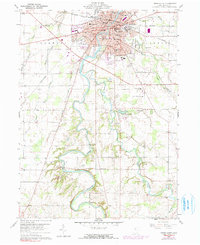
1960 Map of Tiffin South
USGS Topo · Published 1991About this map
The Sandusky River carves a winding path through the heart of this Seneca County landscape, anchoring the bustling city of Tiffin. This 1960 era survey reveals the deep-rooted educational and religious institutions of the community, including Heidelberg College, Calvert High Sch, and St Marys Ch. The transition from urban density to rural farmland is marked by family-named infrastructure and community services, such as the County Home and the County Childrens Center located south of the city limits.
Find a feature on this map
53 named features on this map. Tap any name to fly to it.
Don’t see what you’re looking for? This feature index may not catch every label — zoom into the map to look around manually.
Map Details
Editions of this 1960 Tiffin South Map
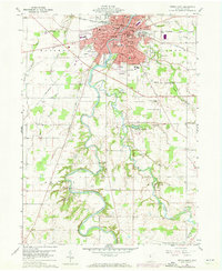
Other maps of this area

1901 · Fostoria
USGS Topo · 1:62,500

1903 · Fostoria
USGS Topo · 1:62,500

1906 · Sycamore
USGS Topo · 1:62,500

1906 · Tiffin
USGS Topo · 1:62,500

1907 · Upper Sandusky
USGS Topo · 1:62,500

1950 · Marion
USGS Topo · 1:250,000

1956 · Toledo
USGS Topo · 1:250,000

1960 · Sycamore
USGS Topo · 1:24,000
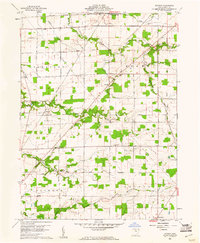
1960 · Watson
USGS Topo · 1:24,000

1960 · Tiffin South
USGS Topo · 1:24,000