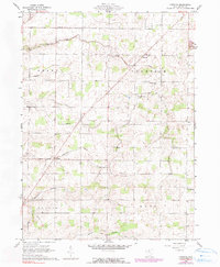
1960 Map of Fireside
USGS Topo · Published 1990About this map
The crossroads community of Fireside sits near the headwaters of Emerson Creek in a landscape defined by small-scale agriculture and early 1960s rural development. This portion of Seneca County is partitioned into the townships of Thompson, Reed, and Scipio, showing a dense network of drainage canals such as Albright Ditch and Noel Ditch that transformed the naturally marshy terrain into productive farmland.
Find a feature on this map
25 named features on this map. Tap any name to fly to it.
Don’t see what you’re looking for? This feature index may not catch every label — zoom into the map to look around manually.
Map Details
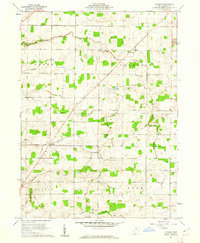
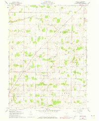
Editions of this 1960 Fireside Map
3 editions found
Other maps of this area

1901 · Bellevue
USGS Topo · 1:62,500

1901 · Fremont
USGS Topo · 1:62,500

1903 · Bellevue
USGS Topo · 1:62,500

1903 · Fremont
USGS Topo · 1:62,500

1906 · Tiffin
USGS Topo · 1:62,500

1915 · Siam
USGS Topo · 1:62,500

1956 · Toledo
USGS Topo · 1:250,000
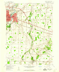
1958 · Fremont East
USGS Topo · 1:24,000
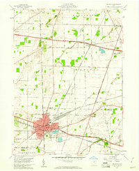
1959 · Bellevue
USGS Topo · 1:24,000
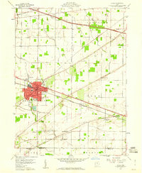
1959 · Clyde
USGS Topo · 1:24,000