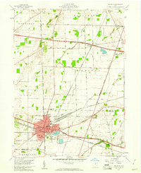
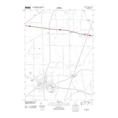
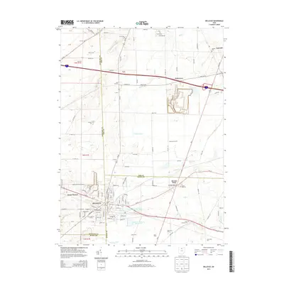
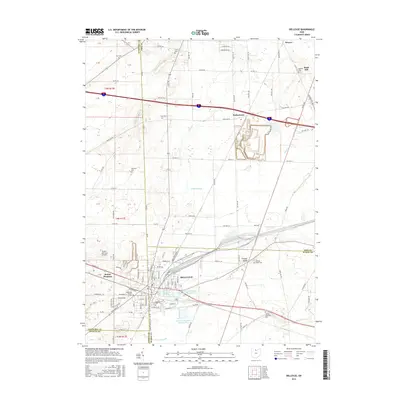
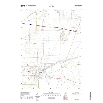
1959 Map of Bellevue
USGS Topo · Published 1960About this map
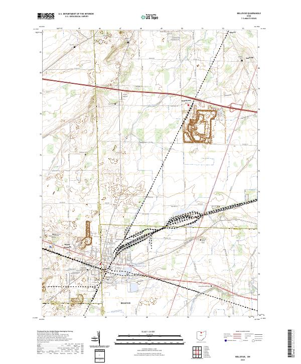
Bellevue sits at a complex geographic crossroads where Erie, Huron, Sandusky, and Seneca counties converge. During the late 1950s, this junction served as a critical node for multiple rail lines, including the New York Central and St Louis RR and the Pennsylvania RR. The landscape transitions from the developed city center—home to City Hall, Bellevue Hospital, and several schools like McKim Sch—to the agricultural township lands of Lyme and York. Several quarries dot the outskirts, particularly near the rail lines, indicating the area's industrial reliance on local geology. Small outlying settlements like Weyers and Parkertown punctuate the grid of rural roads such as Portland Road, while the modern corridor of the Ohio Turnpike cuts across the northern landscape, signaling the shift toward high-speed automotive transport in mid-century Ohio.
Find a feature on this map
44 named features on this map. Tap any name to fly to it.
Don’t see what you’re looking for? This feature index may not catch every label — zoom into the map to look around manually.
Map Details
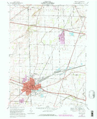
Editions of this 1959 Bellevue Map
This is the sole edition of this map. No revisions or reprints were ever made.
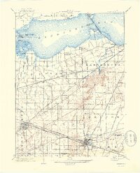
Historical Maps of Bellevue Through Time
9 maps found

Featured Locations
- Bellevue, OH
- Lyme Township, OH
- Mount Pleasant, Bellevue
- Margaretta Township, OH
- Weyers, Margaretta Township