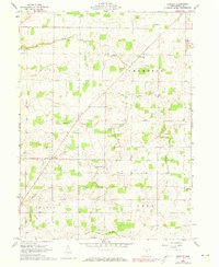
1960 Map of Fireside
USGS Topo · Published 1973About this map
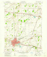
Agricultural life in northeastern Seneca County is defined by a dense network of drainage canals and small rural crossroads settlements during the mid-20th century. The small hamlet of Fireside sits in the northern portion of the map, while the community of West Lodi serves as a central hub near the southern border of Thompson township. The landscape is heavily engineered for farming, evidenced by named waterways such as Albright Ditch, Royer Ditch, and Westerhouse Ditch that feed into Emerson Creek.
Find a feature on this map
28 named features on this map. Tap any name to fly to it.
Don’t see what you’re looking for? This feature index may not catch every label — zoom into the map to look around manually.
Map Details
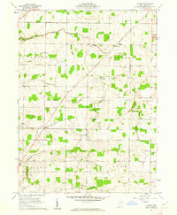
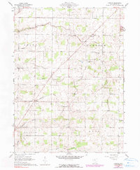
Editions of this 1960 Fireside Map
3 editions found
Other maps of this area

1901 · Bellevue
USGS Topo · 1:62,500

1901 · Fremont
USGS Topo · 1:62,500

1903 · Bellevue
USGS Topo · 1:62,500

1903 · Fremont
USGS Topo · 1:62,500

1906 · Tiffin
USGS Topo · 1:62,500

1915 · Siam
USGS Topo · 1:62,500

1956 · Toledo
USGS Topo · 1:250,000
1958 · Fremont East
USGS Topo · 1:24,000
1959 · Bellevue
USGS Topo · 1:24,000
1959 · Clyde
USGS Topo · 1:24,000