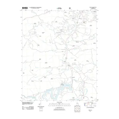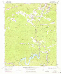
1957 Map of Tiger
USGS Topo · Published 1975About this map
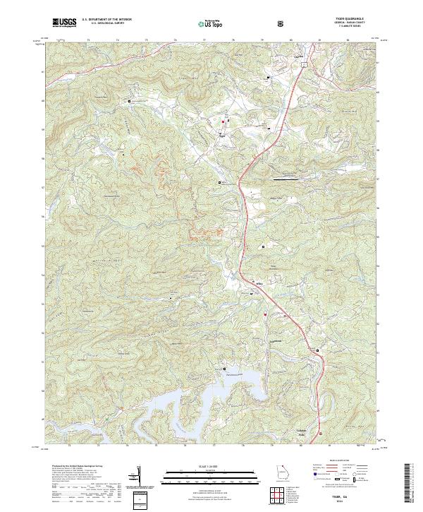
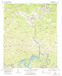
Lake Rabun and the Tallulah River corridor define the southern landscape of this mid-century survey, illustrating the significant hydroelectric development of northeastern Georgia. The map documents the community of Tallulah Falls and its associated Tallulah Falls Lake, along with the nearby Powerplant and the Athens YMCA Camp along the shoreline. Further north, the settlement of Tiger sits at the base of Tiger Mountain, while an abandoned railroad grade traces the valley of Stekoa Creek. Local heritage is preserved through the locations of rural congregations like Liberty Ch and Boggs Mountain Ch, alongside family landmarks such as Crukleton Cem and Jameson Cem. The presence of the Drive-in Theater near Tiger and Camp Dixie reflects the era's recreation and social patterns within the surrounding Chattahoochee National Forest.
Find a feature on this map
68 named features on this map. Tap any name to fly to it.
Don’t see what you’re looking for? This feature index may not catch every label — zoom into the map to look around manually.
Map Details
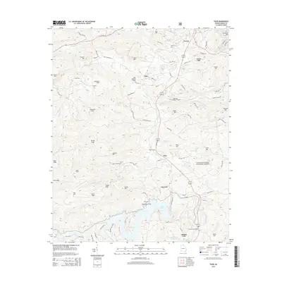
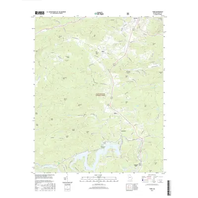
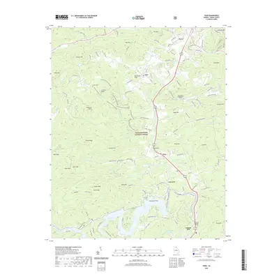
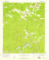
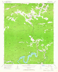
Editions of this 1957 Tiger Map
4 editions found
Historical Maps of Clayton Through Time
6 maps found