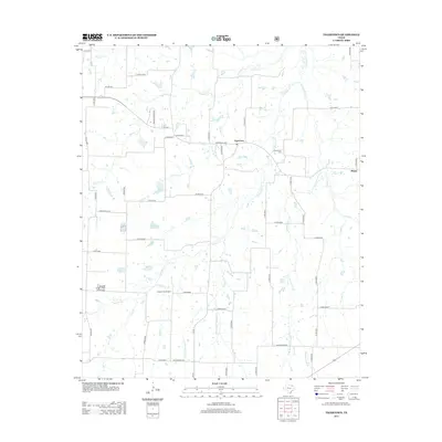
2013 Map of Tigertown
USGS Topo · Published 2013About this map
Tigertown sits at the crossroads of Farm Road 2352 and Co Rd 35300 in this north Texas landscape, where the terrain is intricately carved by a web of small watercourses. To the east, the settlement of Maxey is situated near Maxey Cr, while the rural surroundings are dotted with scattered homesteads and small farm ponds. The area's local history is anchored by the Cottonwood Cem near the banks of Sanders Cr, a creek that meanders southward through the center of the sheet.
Find a feature on this map
55 named features on this map. Tap any name to fly to it.
Don’t see what you’re looking for? This feature index may not catch every label — zoom into the map to look around manually.
Map Details
Editions of this 2013 Tigertown Map
This is the sole edition of this map. No revisions or reprints were ever made.
Other maps of this area
1903 · Paris
USGS Topo · 1:125,000
1947 · Honey Grove
USGS Topo · 1:62,500
1948 · Grant
USGS Topo · 1:62,500
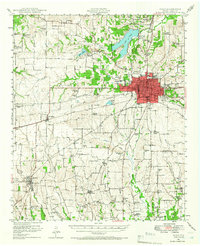
1948 · Paris
USGS Topo · 1:62,500
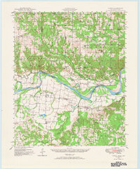
1948 · Direct
USGS Topo · 1:62,500
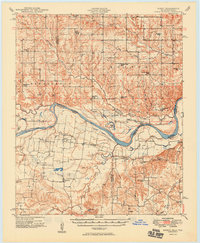
1949 · Direct
USGS Topo · 1:62,500
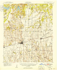
1949 · Honey Grove
USGS Topo · 1:62,500
1949 · Grant
USGS Topo · 1:62,500
1949 · Paris
USGS Topo · 1:62,500

1953 · Texarkana
USGS Topo · 1:250,000