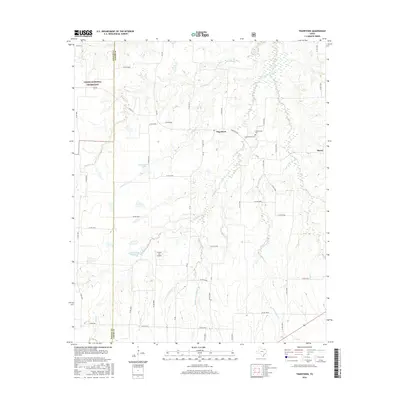
2016 Map of Tigertown
USGS Topo · Published 2016About this map
Caddo National Grassland dominates the northwestern corner of this Lamar County landscape, marking a transition into protected prairie and woodland conservation areas. The community of Tigertown serves as a local hub, situated near the intersection of several farm-to-market roads that facilitate the agricultural movement of the region. This terrain is defined by a dense network of creek systems, including Cottonwood Cr and Shooter Cr, which drain the undulating fields toward the south and east.
Find a feature on this map
55 named features on this map. Tap any name to fly to it.
Don’t see what you’re looking for? This feature index may not catch every label — zoom into the map to look around manually.
Map Details
Editions of this 2016 Tigertown Map
This is the sole edition of this map. No revisions or reprints were ever made.
Other maps of this area

1903 · Paris
USGS Topo · 1:125,000

1947 · Honey Grove
USGS Topo · 1:62,500

1948 · Grant
USGS Topo · 1:62,500

1948 · Paris
USGS Topo · 1:62,500

1948 · Direct
USGS Topo · 1:62,500

1949 · Direct
USGS Topo · 1:62,500

1949 · Honey Grove
USGS Topo · 1:62,500

1949 · Grant
USGS Topo · 1:62,500

1949 · Paris
USGS Topo · 1:62,500

1953 · Texarkana
USGS Topo · 1:250,000