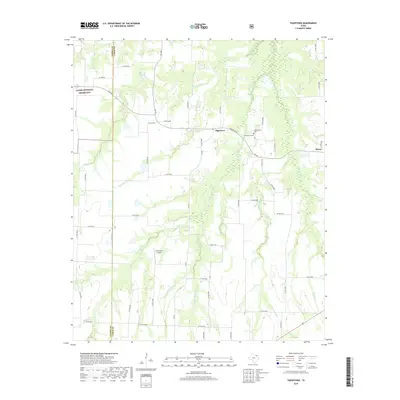
2019 Map of Tigertown
USGS Topo · Published 2019About this map
Tigertown and Maxey anchor this section of Northeast Texas, where the landscape is defined by the winding tributaries of the Red River basin. The terrain is characterized by a dense network of intermittent creeks, including Sanders Creek and Shooter Creek, which carve through the rural countryside. The western edge of the quadrangle includes a portion of the Caddo National Grassland, reflecting the region's emphasis on conservation and public land management. Local history is anchored at the Cottonwood Cemetery, situated near the junction of FM 2352 and FM 38. The presence of the Forest Hill Airport south of Tigertown highlights the modern aviation infrastructure supporting this agricultural area. A complex grid of county roads, such as County Road 36120, connects these small communities across the Fannin and Lamar county line.
Find a feature on this map
53 named features on this map. Tap any name to fly to it.
Don’t see what you’re looking for? This feature index may not catch every label — zoom into the map to look around manually.
Map Details
Editions of this 2019 Tigertown Map
This is the sole edition of this map. No revisions or reprints were ever made.
Other maps of this area

1903 · Paris
USGS Topo · 1:125,000

1947 · Honey Grove
USGS Topo · 1:62,500

1948 · Grant
USGS Topo · 1:62,500

1948 · Paris
USGS Topo · 1:62,500

1948 · Direct
USGS Topo · 1:62,500

1949 · Direct
USGS Topo · 1:62,500

1949 · Honey Grove
USGS Topo · 1:62,500

1949 · Grant
USGS Topo · 1:62,500

1949 · Paris
USGS Topo · 1:62,500

1953 · Texarkana
USGS Topo · 1:250,000