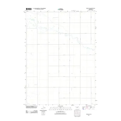
2011 Map of Tilden NE
USGS Topo · Published 2011About this map
Willow Creek meanders through this agricultural landscape in northeast Nebraska, providing the primary drainage for the surrounding sections. The terrain is organized by a precise grid of rural thoroughfares, including major connectors such as Pierce Rd and 850th Rd. This 2011 survey by the U.S. Geological Survey captures the region during a period of modern land management, where the intersection of north-south avenues like 535th Ave and east-west roads like 857th Rd defines the farm boundaries. The map's detail focuses on the subtle hydrology of the creek bed and the established network of section-line roads that have supported the local farming economy for generations.
Find a feature on this map
17 named features on this map. Tap any name to fly to it.
Don’t see what you’re looking for? This feature index may not catch every label — zoom into the map to look around manually.
Map Details
Editions of this 2011 Tilden NE Map
This is the sole edition of this map. No revisions or reprints were ever made.
Other maps of this area

1955 · Sioux City
USGS Topo · 1:250,000

1958 · Sioux City
USGS Topo · 1:250,000

1959 · Sioux City
USGS Topo · 1:250,000

1963 · Pierce NW
USGS Topo · 1:24,000
1963 · Oakdale
USGS Topo · 1:24,000

1963 · Plainview
USGS Topo · 1:24,000

1963 · Brunswick
USGS Topo · 1:24,000

1963 · Foster
USGS Topo · 1:24,000

1963 · Meadow Grove
USGS Topo · 1:24,000
1963 · Tilden NE
USGS Topo · 1:24,000