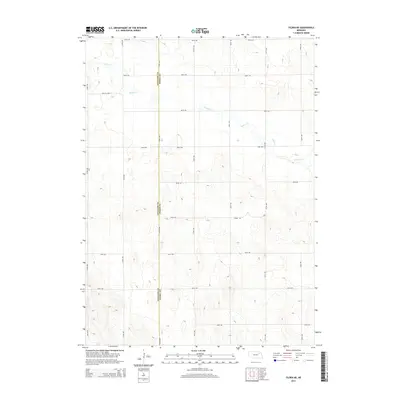
2014 Map of Tilden NE
USGS Topo · Published 2014About this map
The agricultural plains along the Antelope and Pierce County line are defined by a rhythmic grid of section-line roads and the wandering course of Willow Creek. This 2014 survey captures a landscape of intense rural organization, where the topography gently rises away from the creek bottom toward 1,850-foot elevations in the southwest. The drainage pattern of Willow Creek cuts diagonally across the northern half of the sheet, providing the only natural break in the strictly surveyed network of routes like 855th Rd and 535th Ave. For those studying the evolution of Nebraska farmsteads, the map's detailed contour lines and modern road labeling offer a precise record of how these two counties managed the high plains terrain into the twenty-first century.
Find a feature on this map
22 named features on this map. Tap any name to fly to it.
Don’t see what you’re looking for? This feature index may not catch every label — zoom into the map to look around manually.
Map Details
Editions of this 2014 Tilden NE Map
This is the sole edition of this map. No revisions or reprints were ever made.
Other maps of this area
1955 · Sioux City
USGS Topo · 1:250,000
1958 · Sioux City
USGS Topo · 1:250,000
1959 · Sioux City
USGS Topo · 1:250,000
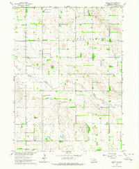
1963 · Pierce NW
USGS Topo · 1:24,000
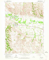
1963 · Oakdale
USGS Topo · 1:24,000
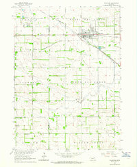
1963 · Plainview
USGS Topo · 1:24,000
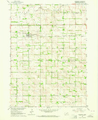
1963 · Brunswick
USGS Topo · 1:24,000
1963 · Foster
USGS Topo · 1:24,000
1963 · Meadow Grove
USGS Topo · 1:24,000
1963 · Tilden NE
USGS Topo · 1:24,000