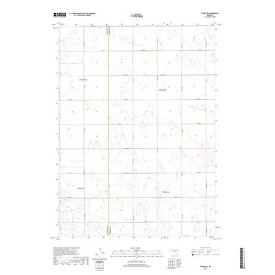
2017 Map of Tilden NE
USGS Topo · Published 2017About this map
The jurisdictional line between Antelope Co and Pierce Co bisects this agricultural landscape, where a rigid grid of section roads defines the rural layout of northeastern Nebraska. Willow Cr meanders across the northern and eastern reaches of the quadrangle, providing the primary natural drainage in an otherwise highly organized terrain of farmsteads and fields. The area is served by a comprehensive network of gravel and dirt routes, from 857th Rd at the northern boundary to 849th Rd in the south, illustrating the enduring township and range surveying system. This 2017 survey reflects the modern agricultural character of the region, where the primary topographic variation occurs along the gentle depressions of the creek bed and its subtle tributaries.
Find a feature on this map
25 named features on this map. Tap any name to fly to it.
Don’t see what you’re looking for? This feature index may not catch every label — zoom into the map to look around manually.
Map Details
Editions of this 2017 Tilden NE Map
This is the sole edition of this map. No revisions or reprints were ever made.
Other maps of this area
1955 · Sioux City
USGS Topo · 1:250,000
1958 · Sioux City
USGS Topo · 1:250,000
1959 · Sioux City
USGS Topo · 1:250,000
1963 · Pierce NW
USGS Topo · 1:24,000
1963 · Oakdale
USGS Topo · 1:24,000
1963 · Plainview
USGS Topo · 1:24,000
1963 · Brunswick
USGS Topo · 1:24,000
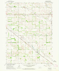
1963 · Foster
USGS Topo · 1:24,000
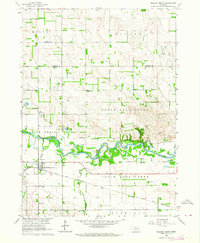
1963 · Meadow Grove
USGS Topo · 1:24,000
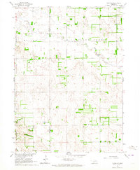
1963 · Tilden NE
USGS Topo · 1:24,000